The Barony

History of the Barony

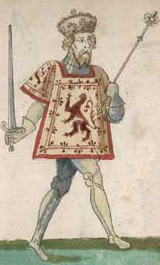
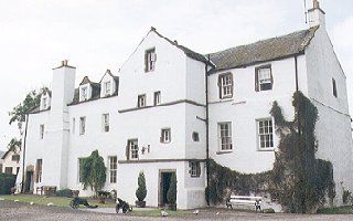
Achterhouse was an important country seat which passed successively through the families of the Ogilvys of Airlie, Earls of Buchan, Earls of Strathmore, and returning to the Ogilvys in 1715. James Stewart, 1st Earl of Buchan, was the nephew of James III of Scotland, who in 1469 was given the titles of Earl of Buchan and Lord Auchterhouse.

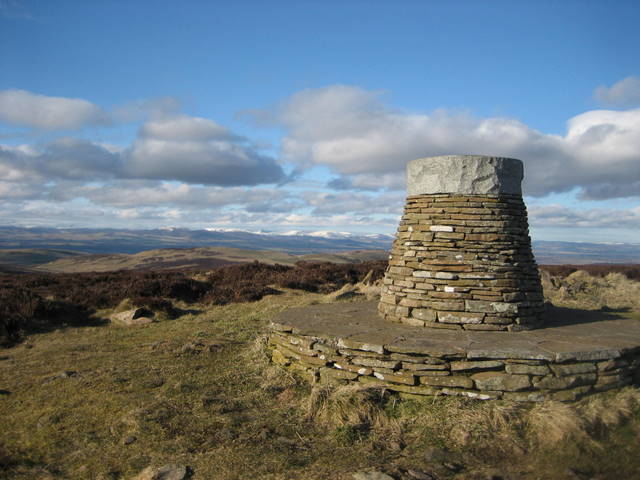
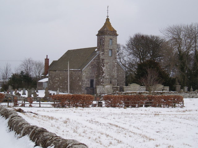
Achterhouse may have derived its name from Achter, the high ground on which the church stands; or from Achadh Torr, the house with the tower in the field.  According to modern authorities, the name signifies the kirk on the height.  The barony, known primarily as Auchterhouse is also known as Auchtirhous, Ochtirhous, Ouchterhous, Owchtirous, Ochirhous, Uchterhous, Uchtirliouse, Uchtirhous, and Utherhous in older documents.

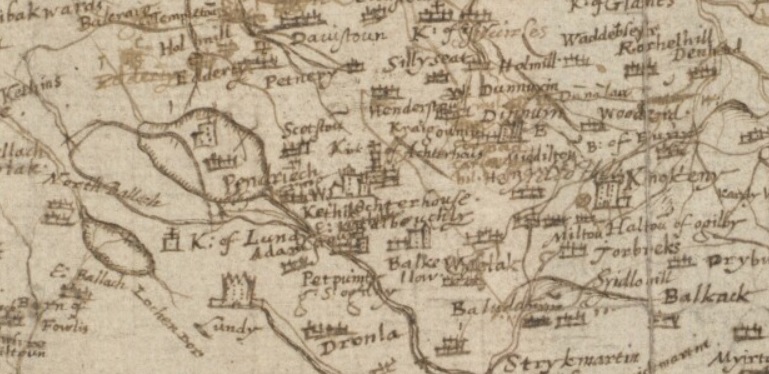
The first proprietor of the barony of Achterhouse, as stated in The Edinburgh Topographical Traditional and Antiquarian Magazine, Volume 1, is a John Mayne or Mein. He held, and was designated of it during the reign of Robert II. Part of the barony, as stated before, came to the Earl of Airlie before 1400. Parts, particularly the lands of Templeton, belonged to the Knights Templar. After suppression of the order, those lands, along with the other parts of the barony were given to Sir William Ramsay.

The feudal barony, which is not quite the same as the current Parish of Auchterhouse, was defined in the Charter of the Great Seal of Scotland as comprising the “lands of Halton, Dominical lands of Kirkton of Auchterhouse, town and lands of Liochs Easter and Wester, Eastfield, Cotton, Burnsyd, Burnhead, Newton, Bonnington, Knowhead, with Manor there of Auchterhouse, teinds of the Rectory and vicarage of the church and parish of Auchterhouse”.

Auchterhouse Hill

Robert II of Scotland

Auchterhouse Parish Church

Auchterhouse Parish Today

Auchterhouse is a forward leaning community village, and civil parish in the Scottish council area of Angus, located 7.3 miles (11.7 km) north west of Dundee, 9.5 miles south east of Alyth and 14.9 miles south west of Forfar. It lies on the southern edge of the Sidlaw Hills, below Auchterhouse Hill, which contains the remains of an ancient ring fort 1,398 feet high. The parish, which is coterminous with the community, had a population of 520 in 2001.  The village, formerly known as Milltown of Auchterhouse, straddles the B954 Muirhead to Newtyle road. The larger village of Kirkton of Auchterhouse, where the church and school are located lies about 1 mile east of the village. The area contains ancient cave-dwellings, in one of them were found a quern, some bones, and a brass ring. The old baronial mansion, also known as “Auchterhouse Castle”, the former seat of the barony of  Achterhouse, is a mile south-west of the Kirkton.

Auchterhouse Castle

Auchterhouse Castle is 13th century castle located northwest of Dundee, Angus, Scotland. The original castle was enclosed with walls, towers, and contained a keep. The castle may have been in ownership of the Ramsay family, who were hereditary Sheriffs of Angus. Sir William Wallace is alleged to have stayed at the castle and one its towers was named in his honor. King Edward I of England spent the night of the 20 July 1303 at the castle. The castle came into the possession of James Erskine, 7th Earl of Buchan who may have built the 17th century tower house.

The Auchterhouse “castle” has largely vanished from existence. The remains being limited to the ruined ground floor of a single square tower, referred to as the “Wallace Tower”, located on the private grounds of the later mansion bearing the same name.

The old tower appears to be rectangular. It measures about 12 meters across, with walls some three meters thick in places. The tower has been badly damaged and the external faces are not the original outer face of the tower. It is not at all clear how old the tower is, or what it actually represents. Some argue that the tower what remains of a mural tower of a 13th century courtyard castle, while others assert the tower is what remains of a later 14th or early 15th century free standing tower. The castle annotated on the Pont map for the region depicts a castle consisting of a tower house of four stories with a wing and perhaps a courtyard. It is unclear if it is a representation of a more traditional castle, or an early representation of the current manor house. Regardless, it is clear the old tower had been destroyed or demolished. This could have happened as part of a renovation or as a result of battle. Angus, the region where Auchterhouse lies, was the site of many inter-clan battles during the 1450’s. The Ogilvys were belligerents.  It is possible the castle may have been sacked or damaged as a result of the conflicts.  Coming into the damaged property by marriage, James Stewart would potentially have then built a new tower house, which then developed into the much extended and modernized mansion of today.

This is the section of Pont map used to depict the recreation of Auchterhouse Castle. Timothy Pont (1560-1627), Scottish minister, cartographer, and topographer was the first person to create a detailed map of Scotland.

Auchterhouse Castle as it appears today. This is a modern style manor house consistent with those of the 18th and 19th century

Artistic depictions

These are alternate depictions of Auchterhouse Castle, which was a traditional tower castle used during the time of Malcolm Ramsay. They were created based on the referenced Pont map.